Image credits and verification notes

DWC 201 · Louverture lecture · Revised 27 September 2026

Presentation · Original Claude credits and text sources

This addendum updates the supplied credit records. The active films and stills incorporate the 27 September caption edits; the image sources are unchanged. The Fort de Joux photograph’s source is still unresolved.

Creative Commons licences: CC BY 4.0 · CC BY-SA 4.0. The JCB’s reuse policy confirms CC BY 4.0 for its digital collections and requests its institutional credit. Catalogue dates describe images, not the events they illustrate.

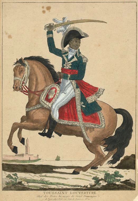
Toussaint Louverture

Toussaint Louverture

Unknown artist; Paris print published chez Jean, circa 1800. Courtesy of the John Carter Brown Library.

Public-domain artwork; JCB digital collections: CC BY 4.0. Cropped to the figure.

Source record

The Commons record links this print to the JCB. The original package’s Cousin d’Avallon book link should not be treated as a verified catalogue identification of the equestrian print. The on-screen caption does not assign it an exact year.
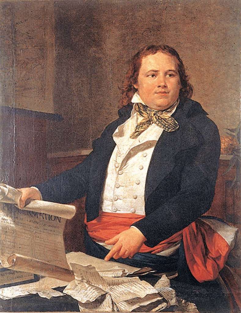
Sonthonax

Sonthonax

Unknown artist, late eighteenth century; Wikimedia Commons.

Public domain / PD-Art, as recorded by Commons. Cropped to head and shoulders.

Source record

The Commons record leaves the holding collection unknown. The original package’s association with MUPANAH has not been verified for this particular reproduction.

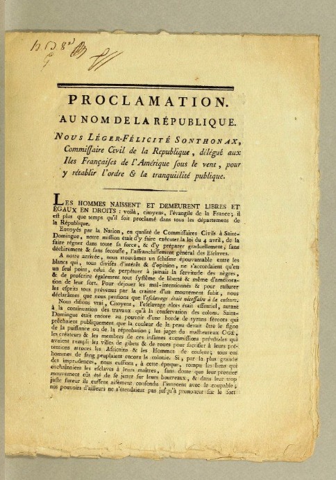
Proclamation, 1793

Proclamation, 1793

Léger Félicité Sonthonax, Proclamation. Au nom de la République. Courtesy of the John Carter Brown Library.

CC BY 4.0 under the JCB digital-collections policy. First page, transparency flattened to white.

Source record

Item identification follows the supplied handoff. The JCB’s general digital-image policy was independently confirmed.

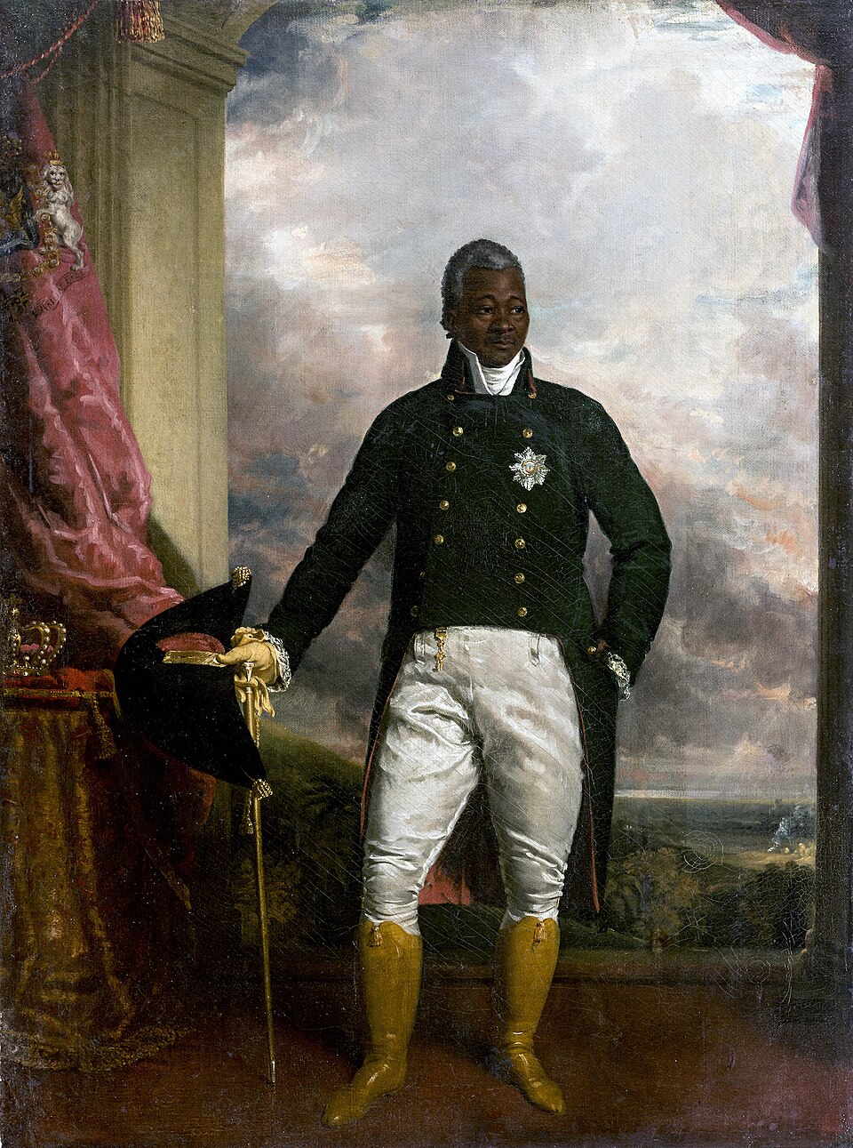
Christophe

Christophe

Richard Evans, 1816; Musée du Panthéon National Haïtien, as listed by Commons.

Public domain / PD-Art. Cropped to exclude crown and royal regalia.

Source record

This is a later royal portrait used for identification in scenes set before his kingship.

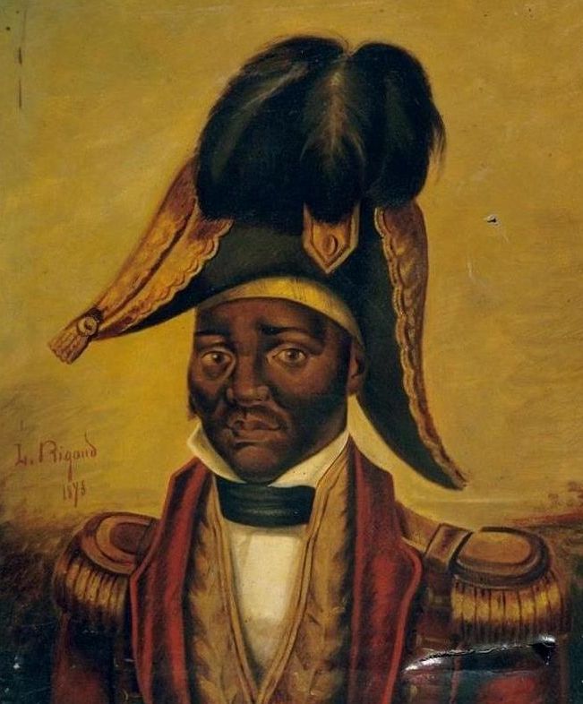
Dessalines

Dessalines

Louis Rigaud, 1878, as catalogued by Wikimedia Commons.

Public domain / PD-Art. Bust crop.

Source record

The date is confirmed by the file record, not by a fresh reading of the indistinct painted signature. No physical holding institution is asserted here.

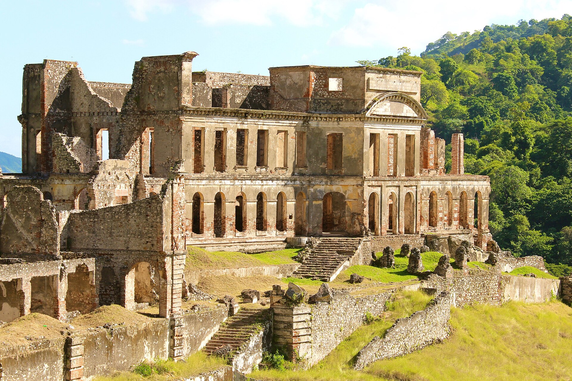
Sans-Souci palace

Sans-Souci palace

Photo by Didier Moïse, 29 November 2013.

CC BY-SA 4.0. Image resized and cropped at top and bottom. The adapted photograph is shared under CC BY-SA 4.0.

Source record

The palace dates from the 1810s. It is distinct from the revolutionary leader Sans Souci. This credit supplements the shorter credit embedded in B4c.

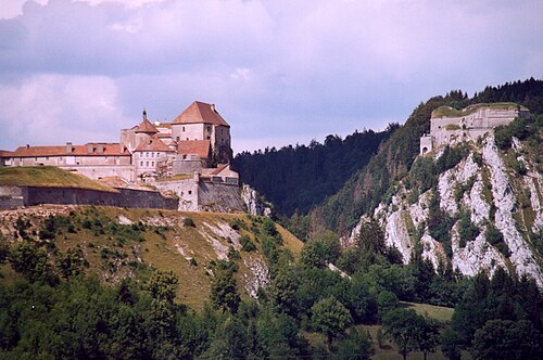
Fort de Joux — attribution unresolved

Fort de Joux — attribution unresolved

Photographer, exact source file, photograph date and image licence remain unverified.

No licence is asserted. The supplied 500 × 332 photograph is retained. Cropped to the château at left; Fort Mahler at right is excluded.

Source record

The package contains only a category link, not the image’s file record. Candidate records could not be verified. Keep this as an outstanding attribution item for the next Claude handoff.

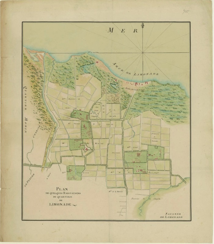
Limonade plantation plan

Limonade plantation plan

Plan de quelques Habitations du quartieir de Limonade, 1785. Courtesy of the John Carter Brown Library.

CC BY 4.0 under the JCB digital-collections policy. Cropped to the drawn plan; transparency flattened.

Source record

Identification follows the supplied handoff. The plan depicts a plantation landscape, not the geography of the insurgent organization drawn beside it.

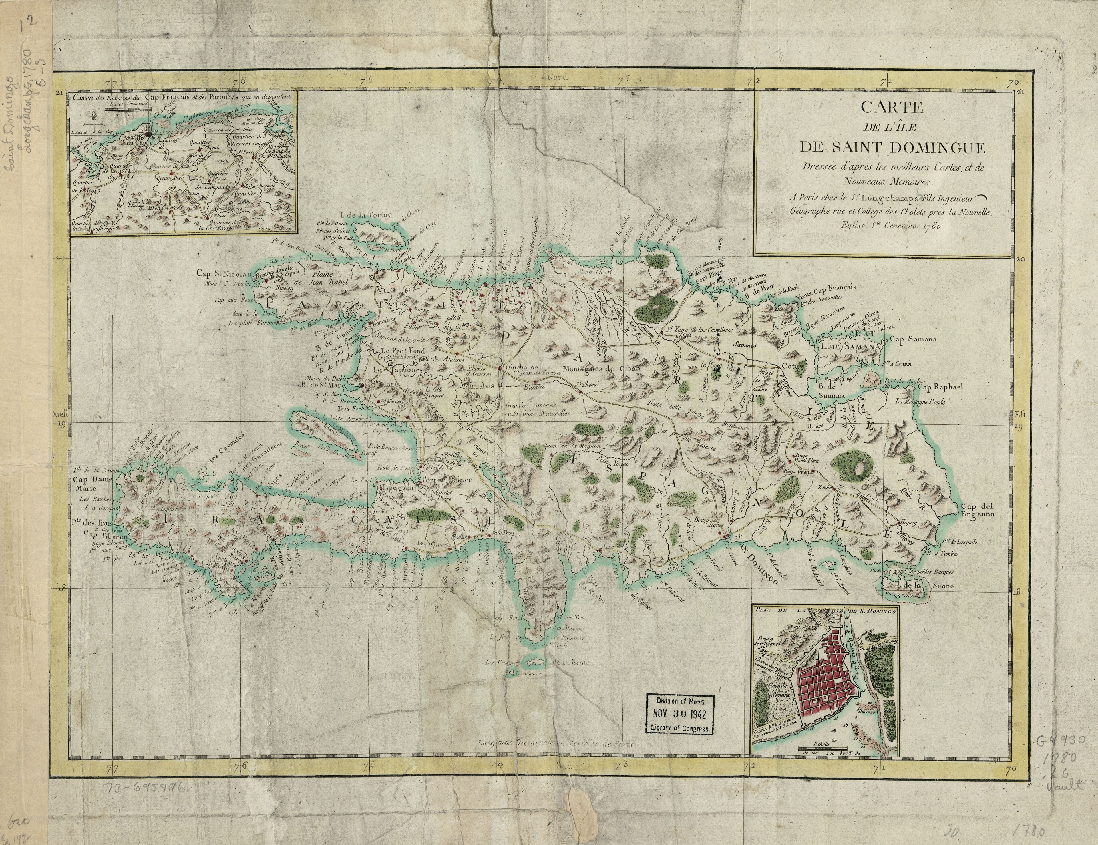
Saint-Domingue map

Saint-Domingue map

Jacques François Des Longchamps, Carte d l’île de Saint Domingue, 1780. Library of Congress, Geography and Map Division.

Public-domain historical map, as recorded in the original handoff. Cropped, scaled; modern labels and locator added.

Source record

Shows geography, not military control. Attribution retained from the reviewed lecture assets.

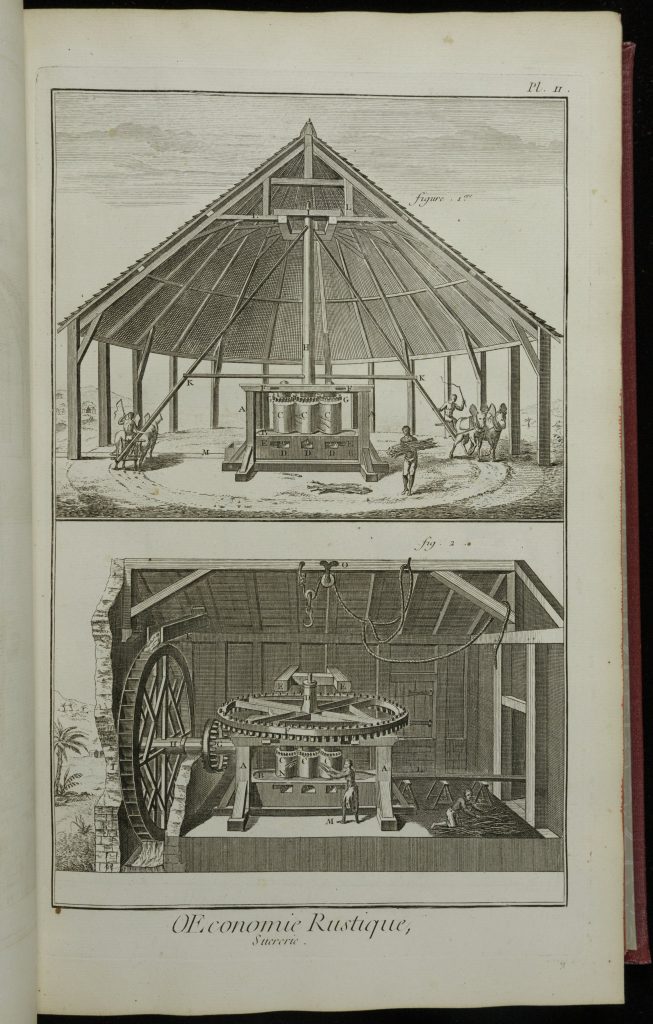
Sugar-mill plate

Sugar-mill plate

Encyclopédie, “Œconomie rustique, Sucrerie”, plate II, 1762. Newberry Library.

Public-domain historical work, as recorded in the original handoff. Cropped.

Source record

Illustrates plantation machinery; does not depict a particular 1801 estate.

Schematics and named markers

Atlantic outlines: Natural Earth 1:110m land polygons, public domain. Modern borders removed. All alliance lines, location markers and conceptual figures are teaching schematics.

Sans Souci, Pétion and the French command use named markers. Hegel and Fanon’s conceptual figures are not portraits of historical participants.